Puncak Hit by Floods, Chairman of P4W IPB University Reveals This

The flood that hit Puncak, Bogor on Sunday (2/3) caught the public’s attention. This disaster caused many houses to be damaged and residents lost their property. According to the records of the National Disaster Management Agency (BNPB), as many as 346 people were forced to evacuate due to the flood.
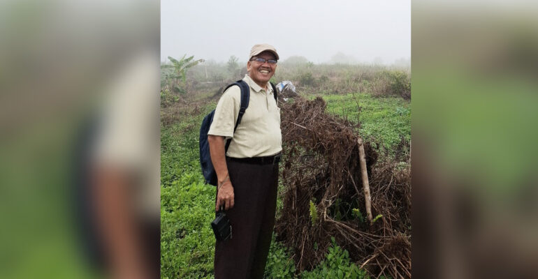
Responding to this incident, the Chairman of IPB University’s Research Center and Planning for Regional Development (P4W), Prof Baba Barus, stated that normatively, there is something wrong with the spatial planning in Puncak. “Space allocation planning that is not in accordance with the carrying capacity of the environment has the potential to cause disasters,” he said.
He added that even good planning will not be effective if space utilization does not heed the character of the carrying capacity of the environment. This can trigger negative impacts such as floods and landslides, as happened today.
“The emergence of floods in the Puncak area has been repeated, allegedly because many infiltration areas have been disturbed, so that the surface flow of water becomes very high,” said the lecturer at the Faculty of Agriculture, IPB University.
“Naturally, Puncak is not a flood-prone area because it is a sloping area. Flooding events may occur in areas with poor drainage, limited basins, or flash floods on the edge or bend of the river, or in areas where there is a sharp change in slope,” added Prof Baba.
The same applies to landslides. According to him, this is natural because in the Puncak area there are many locations that have the potential for landslides, especially in riparian areas or other steep slopes.
Furthermore, Prof Baba explained that Tugu Selatan Village, Cisarua District, is factually utilized for forests, tea gardens, and settlements, whether it has been compiled in spatial planning or not.
However, he said, some of the utilization then changed in line with changes in spatial planning or not in line. “Ideally, space utilization should be in accordance with planning,” he said.
He also highlighted the weak supervision of space utilization. According to the rules, there is already a settlement allocation, but in practice there are deviations. Many changes in utilization have occurred within a certain period of time until now.
“Locations that are not in accordance with the designation or possibly not in accordance with the carrying capacity for settlements should not be allowed to become settlements. The use of satellite imagery or drones makes it very easy to monitor these deviations,” he said.
Prof Baba emphasized the importance of detailed spatial planning supported by accurate data so that there will be consequences if there is a rearrangement of space. Therefore, he emphasized the need for a gradual and specific approach.
Regarding rearrangement, IPB University has successfully invited horticultural farmers in Cibulao Village, who previously used protected forest areas and river borders to switch to coffee farmers in the same location. “This process certainly takes time,” he explained.
He suggested that local governments utilize existing data, such as maps of hazards, vulnerabilities and risks, which are generally already available at competent institutions for preventive measures. The data must now be checked and detailed again as a foothold in formulating important steps.
“For operational prevention purposes, areas at risk of flooding or landslides must be monitored systematically, especially during the rainy season. In the digital era, spatial-based early detection models should be developed. Of course, support for the Regional Disaster Management Agency and its apparatus must also be provided,” he concluded. (dh) (IAAS/NRA)


