Discussing the Sustainability of Regional Development Towards ‘Indonesia Emas 2045’, P4W IPB University Holds Webinar with UNS

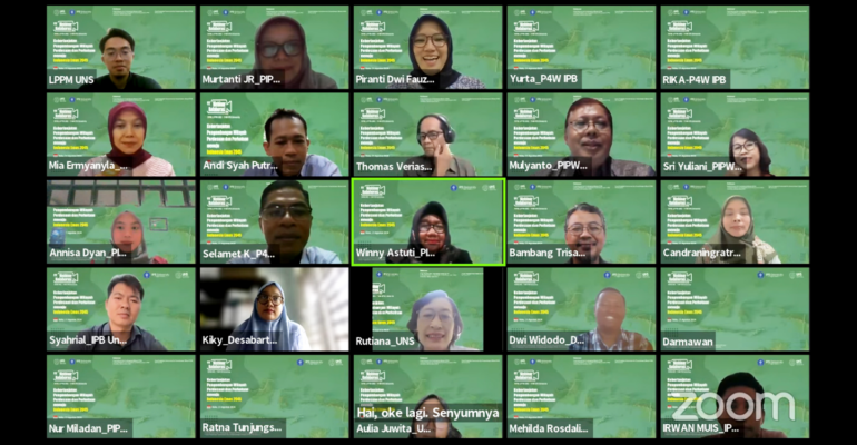
Towards the vision of a ‘Indonesia Emas 2045’, the development of rural and urban areas is a common concern. In response to this, the Centre for Planning and Regional Development Studies (P4W) IPB University held a collaborative webinar with the Centre for Information and Regional Development (PIPW) Sebelas Maret University (UNS), Wednesday (21/8).
The webinar themed “Sustainability of Rural and Urban Area Development Towards Golden Indonesia 2045” took place with active participation from various parties and presented a number of key speakers.
Thomas Oni Veriasa, a researcher from P4W IPB University, presented a study on the implementation of social forestry in Java. “This study aims to evaluate the extent to which social forestry is running well and its sustainability in the forests of Java,” said Thomas.
He also highlighted several problems in social forestry management, such as misalignment between licence recipients and management access needs, and declining trust in management institutions. “Issues of inclusiveness and decentralisation of forest management often lead to implementation delays and problems in the quality of utilisation of social forestry areas,” he added.
Thomas proposed several corrective measures, including halting the issuance of new permits while evaluating the performance of existing permits, as well as strengthening the decentralisation of management responsibilities to the district/city level.
On the other hand, Selamet Kusdaryanto from P4W IPB University presented the results of a participatory mapping study of sustainable food agricultural land in Tangerang District. The mapping used satellite imagery and spatial data to produce the final land map.
“The study results show several obstacles, such as the lack of familiarity of farmer group members with GIS technology and complicated coordination with various stakeholders,” Selamet said.
The mapping results showed various issues, including water management for agriculture, farmer institutional systems, and agricultural machinery issues. “Unequal irrigation systems and unoptimised access to capital for farmers are the main issues that need to be addressed to increase agricultural productivity,” Selamet explains.
The benefits of participatory mapping include the resolution of land boundary conflicts, recognition of customary territories, and the basis for community participation in agricultural development.
Dr Mulyanto and Dr Sri Yuliani from PIPW UNS also provided additional insights on the importance of community participation in regional planning. (*/Rz) (IAAS/RSL)


