IPB University Professor Presents Utilisation of Geospatial Technology in Information System Development

Indonesia as a country with a large population places food availability as a strategic issue so that its provision becomes important. The existence of agricultural land and the increasing need for food requires a better understanding of agricultural land and crop data. Along with the advancement of science and technology (IPTEK), the character of land and plants can be known through geospatial technology.
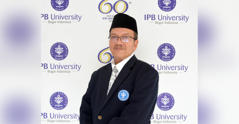
This was explained by the Permanent Professor of the Faculty of Agriculture (Faperta) IPB University, Prof Baba Barus at the Professor’s Scientific Oration Pre Press Conference held online on 22/5. Prof Baba explained the material with the title “Geospatial Technology for Inventory, Monitoring, and Prediction of Agricultural Land and Crop Resources”.
He explained that the development of geospatial concepts can be used for land-based inventory and monitoring activities in peat ecosystems. Conceptually, the method of determining the boundaries of Peat Hydrological Units (KHG) with geospatial technology in the early stages is an important idea that is quantified and becomes the basis for peat ecosystem protection policies.
“The development of this soil properties mapping model was also developed for land damage models, utilising geospatial data in assessing potential damage from accessible slope stability data, and Unmanned Aerial Vehicle (UAV) or drone technology,” said Prof Baba.
He continued, along with the development of geospatial science, the concept of paddy field mapping space was made into mapping units to obtain clear and measurable variability of space units. This concept continues to be developed to improve the map of Sustainable Food Agricultural Land (LP2B) in various regions such as Garut Regency, Bogor Regency, Sukabumi City, Tuban Regency, Lingga Regency, and Tangerang Regency.
“Geospatial technology has entered a phase that increasingly emphasises precision accuracy with greater data coverage. The utilisation of UAVs or drones with the support of multispectral and thermal sensors can measurably observe land damage due to disease, drought and flooding, as well as the orientation of early detection model development,” he explained.
Prof Baba revealed that several activities utilising geospatial technology include the development of LP2B Information Systems in Tangerang Regency, namely making an agricultural application for the Indonesian Agricultural Information System or known as SIPINDO.
“SIPINDO is an android-based application that can be accessed for free by providing easy access to agricultural information to farmers or other users. SIPINDO is the only spatial-based service system and can answer questions needed by the community before planting,” said Prof Baba.
He said, in the SIPINDO application there is an explanation of planting methods to fertilisation in accordance with the land in the region. “The application has been downloaded by more than 100 thousand people and we hope this technology will continue to develop with better versions,” he concluded. (Lp) (IAAS/RUM)


