The 48th Strategic Talks IPB University Raises the Sea Fence Polemic
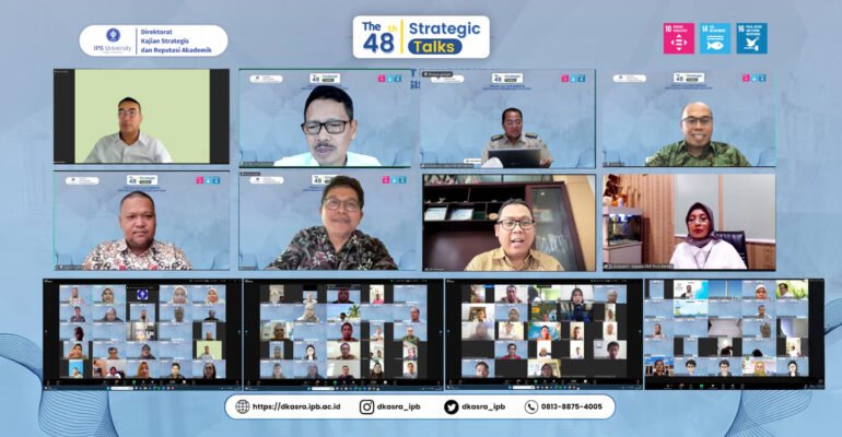
The polemic over the sea fence in the waters of Tangerang Regency, Banten has become a concern for many parties. This issue also prompted IPB University to hold an expert discussion “The 48th Strategic Talks: Sea Fences and the Disruption of Our Coastal and Marine Governance”, Monday (10/2).
So far, the sea fence is suspected to have violated marine spatial regulations because it was built without official permission, disrupted public access, and potentially damaged the ecosystem.
In his introduction to the discussion, Prof Ernan Rustiadi, Vice Rector of IPB University for Research, Innovation and Agromaritime Development, emphasized the importance of coastal governance based on research and data. This step is considered important to maintain a balance between the utilization and sustainability of marine resources.
Professor of the Faculty of Fisheries and Marine Science (FPIK) IPB University, Prof Yonvitner explained three principles of marine and coastal governance. He highlighted that the coastal development paradigm is not only to maintain and protect, but also to utilize it as an economic space.
“However, in its development as an economic space, the coast will be affected by risks. This risk is still not perfectly covered by the Job Creation Law, especially for spatially-based risks,” explained the Chief of the Center for Coastal and Marine Resources Studies (PKSPL) IPB University.
He added that integrated coastal management (ICM) is needed to look at all existing policies and interests. Thus, the policy that is born will cover and synergize all interests, both horizontal and vertical.
Dr Agustan as a remote sensing expert made a point about the importance of having spatial data that is open to the public and based on one data policy.
“With spatial data obtained from remote sensing, knowledge will be obtained related to the evolution and dynamics of coastal areas within a certain time span,” said Dr Agustan.
“Therefore, the availability of spatial data from remote sensing is very important because it can be used by policy makers to plan, implement, control, and even correct existing policies.” he added.
Eli Susiyanti, SH, MH, MM as Chief of the Marine and Fisheries Service of Banten Province also attended the discussion. She confirmed that the existence of sea fences in Banten Province does not yet have a Marine Rual Management Activities Conformity Approval License (PKKPRL).
Her party has also taken several steps related to the sea fence polemic. Direct field investigations were also carried out involving all existing stakeholders. “On January 18 until now, the Banten Provincial DKP continues to carry out the removal of the sea fence,” she said.
Attending the discussion were Ir Suharyanto, MSc (Acting Director of Marine Spatial Planning); Eko Suharno, APTNH, MH (Chief of Rights Determination and Registration Division of Banten Province BPN Regional Office); Prof Arie Afriansyah (Chief of Center for Sustainable Marine Policy – University of Indonesia).
In conclusion, Dr Beginer Subhan, a lecturer at the Faculty of Fisheries and Marine Science (FPIK) IPB University who guided the discussion, said that the management of marine space in Indonesia still has several policy holes that must be filled. Coordination of each stakeholder and expert discussion activities such as this Strategic Talk will help voice this to policy makers.
For information, until Wednesday (12/2), sea fences in Tangerang and Bekasi have been in the process of being dismantled. In Tangerang alone, 24,9 kilometers of fence have been completed out of a total of 30,16 kilometers. (*) (IAAS/RUM)