Prof Sri Nurdiati Predicts the Potential of Forest and Land Fires Using the Concept of Mathematical Modelling

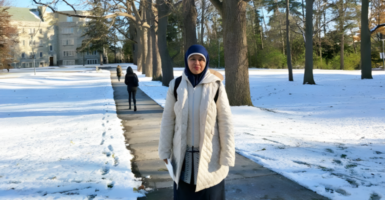
Prof Sri Nurdiati, Professor of the Faculty of Mathematics and Natural Sciences (FMIPA) IPB University said that the analysis of forest and land fires (karhutla) in Indonesia can use the concept of mathematical modelling. She assessed that the modelling concept that uses observed data from climatology stations with a short model scale (daily, weekly) can provide much more accurate results when compared to analysis on satellite data.
“There are two characters of forest and land fires in Indonesia based on the data of the burned area of the Global Fire Emission Database (GFED) in 1997-2016,” said Prof Sri Nurdiati during the Press Conference of the Pre Oration of Professor of IPB University (21/9) in front of the media crew through the Zoom Meeting.
She explained that the first forest and land fire pattern covers Riau and its surroundings, southern Sumatra, Kalimantan, and Merauke. This condition occurs during the dry season in the middle to the end of the year with a period of 12 months. Meanwhile, the second forest and land fire pattern occurs in the northern part of Sumatra (Riau and surrounding areas) within a 6-month period and does not have a consistent attachment to El Nino and the Indian Ocean Dipole (IOD).
In understanding the characteristics of forest and land fires and anticipating them in the future, one of the most popular modelling methods is regression. This statistical method is used to estimate the relationship between a dependent variable and one or more independent variables. In another study, the integration of El Nino-Southern Oscillation (ENSO) and IOD indices or the difference in sea surface temperature in two regions was introduced to influence the correlation between the climate indicators used and hotspots in each year.
“The results of the transformation are then used to obtain climate indicator variables that are tied to the ENSO and IOD phenomena. Analyses on integrated data can produce general performance much better than previous studies,” she explained.
Prof Sri also reviewed ProbFire introduced by Nikovas in 2022 as a basic model for future fire warning systems by combining climate (rainfall, air temperature, and relative humidity) and non-climate indicators (previous fire activity and forest land cover). In general, Probfire outperformed fire predictions based on climatological data alone at 2 to 4 month lead times in South Kalimantan, South Sumatra and South Papua.
Another popular approach is to use hydro-climatologycal indicators in forest and land fire modelling. By using the difference between rainfall and evaporation, the first component of the data changes to include not only areas with a 12-month rainfall period, but also areas with a 6-month fire period.
“Analysis of the data shows that the use of rainfall and evaporation difference variables can minimise the critical boundary distance caused by the different types of rainfall in Indonesia. These results show that the rainfall and evaporation difference indicators can be used in robust modelling, covering areas with diverse forest and land fire characteristics,” he said.
This method is important considering that Indonesia has experienced more than 300 natural disasters in the 1990-2021 period, 70 per cent of which were the result of climate change. Several research results also show that Indonesia is one of the most vulnerable countries to extreme heat waves according to climate model projections.
“Therefore, these conditions need attention, considering that drought and extreme heat waves in Indonesia are closely related to the risk of forest and land fires,” concluded Prof Sri. (dh/Rz) (IAAS/RUM)


